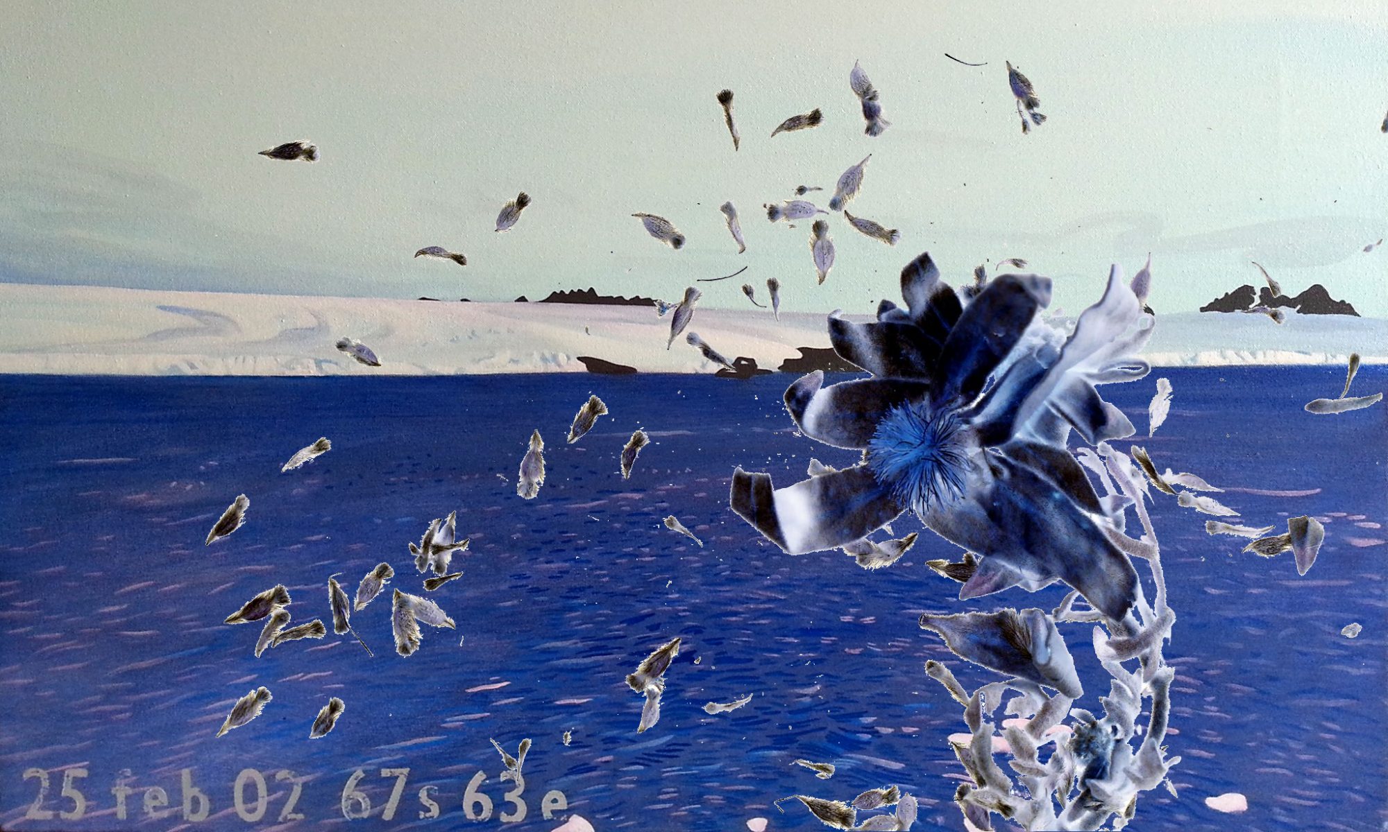
New media technologies offer other ways of mapping landscapes:
.
RESEARCHER Francesca Veronesi made this presentation today at Sydney University:
TITLE
The site as a map. Orientation in physical and narrative spaces
ABSTRACT
Mapping Footprints, lost geographies in Australian landscapes, is a research project in development that explores the relational qualities of places and contemporary perceptions of geography. It reflects on new mapping technologies that have the capacity to reinstate relations between subjects and places via a spatial exploration that engages with inventive and specific uses of location sensing technologies informed by physical and cultural contexts. The Elvina rock engravings in Kuringai National Park is the site of a location sensitive sound installation in which we integrate the specificities of landscape with a navigational medium. A sonic map is overlayed over the physical terrain opening up the site as a place embedded with memories, creating the potential for spontaneous exploration and new understandings of place. The Œmap¹ in Mapping Footprints is composed from the geographical narration of the cartographers¹ exploration across Indigenous mediascapes.
.
Francesca Veronesi is research student in Design Computing and Cognition in the Faculty of Architecture, Design and Planning at the University of Sydney. Her thesis at Venice Institute of Architecture (I.U.A.V) dealt with a compared analysis of settlers’ and nomads’ spatial models of development in relation to architecture, technology and sustainability. Her current investigations consider the creative application of localization and mobility technologies to develop transformations and interventions in urban spaces. The theme of her current research is mapping local memories of places in Australian landscapes.
.
.
ABSTRACTMUNDOES: Memories of Lost Geographies in Australian Indigenous Landscapes
The purpose of the research is to investigate the potential of augmented environments to develop forms of alternative geographies that can describe the complexity of cultural strata embedded in a territory.
Mundoes, a word used by Aboriginal people to define the Ancestors’ footprints, is the both the title and the aim of the research proposal about memories of lost geographies, whose attempt is to reveal traces of cultural permanences submerged in the layers of physical space. Mundoes aims to retrace fragments of Indigenous memories stratified into the urban fabric through the application of locative sensing technologies. The project investigates the ambiguity and indeterminacy of the liminal space between virtual, where memories and cultural traces are displaced, and physical spaces, where the process of discovery and revelation is attained through exploration. Landscape, therefore, becomes a medium through which alternative systems of orientation are conveyed and where navigation is performed in a non-linear way through zones of connections whose boundaries are constantly reconfigured.
The project follows the undercurrent of critical theories that from the Dadaists, to the Situationists Movements, to Land artists’ experiments, to the latest theorizations on nomadic design and ubiquitous computing enquire the notion of “place†in the mutant nature of contemporary space as a territory in becoming. The project aims to create an immersive, interactive, narrative environment where orientation or dis-orientation is achieved by users’ wanderings so that new visions, perceptions and awareness could be aroused.
The results from this research will allow a reappraisal of the role of individuals to experience lived spaces creatively and to redefine the use of public spaces as learning environments where the self is engaged in a process of erratic discovery through cultural boundaries and historical sedimentations.
